Exploring the Magic City on Two Wheels
July 2026
Article by Kara Schwalbe
Photos by Jessica Plance
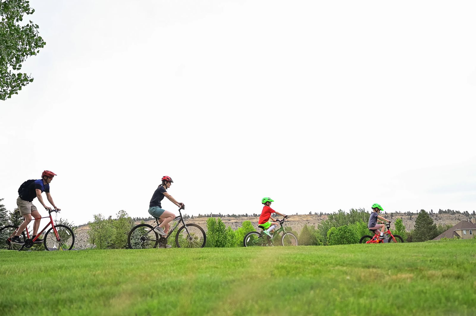
There's a special kind of magic in a family bike ride. The joy of pedaling together on a quiet trail, the accomplishment of reaching a fun destination, it's hard to beat on a summer day. But finding a car-free route with stops that keep kids engaged can be a challenge. Fortunately, Billings has 55 miles of paved, multi-use paths that make family cycling not only easy but also safe.
We sat down with Billings TrailNet's new executive director, Kristy Halderman, to map out three family-friendly routes for your next outing. Each route prioritizes time on multi-use trails, offers convenient start and end points, and includes stops along the way to keep little riders motivated.
Strap on your helmets and get rolling!
WEST END: PLAYGROUNDS AND TREATS
Total distance: 3.8 miles | Approximate pedal time: 40 min. Start/End: Rimrock West Park
Follow the Big Ditch Trail with a short detour to visit two great West End parks — Rimrock West and Landon's Legacy, then stop for shave ice, a snack, or coffee at Aloha Coffee.
JOSEPHINE CROSSING: SCENERY AND SODAS
Total distance: 4 miles | Approximate pedal time: 45 min. Start/End: Riverfront Park
Pedal through the trees along the river on the flat Jim Dutcher Trail, then head through Josephine Crossing to Maple Moose Coffee and Pop Shop for a cool treat before returning to relax by the river or explore more trails.
Note: Some of this trail is packed gravel and dirt. Prefer to skip Riverfront Park parking? Start at Norm's Island for a slightly shorter ride.
HEIGHTS HANGOUT: LAKE AND ADVENTURE
Total distance: 1.4 miles or 5.9 miles | Approximate pedal time: 60 min. Start/End: Lake Elmo State Park
Spend the day at Lake Elmo and ride the 1.4-mile trail around the lake, or extend the adventure to 105 Brewing via the Kiwanis Trail for a refuel and a rest.
Note: Use caution and proper bike safety when navigating to and from the Kiwanis Trail.

OTHER PLACES TO RIDE
Multi-use trails are separated from roads, making them ideal for casual riders and families. Looking for a new spot to explore?
- Shiloh Conservation Area
- Ironwood Neighborhood Trails
- Chief Black Otter Trail
- Skyline Trail
SIDEBAR: BILLINGS TRAILNET: THE PEOPLE BEHIND THE PATHS
Advocacy in action. Billings TrailNet is a nonprofit advocacy organization working with the city to plan, fund, and build the trail system we love.
A supportive role. While TrailNet doesn't own the trails, the city does, it helps raise vital matching funds required to secure state and federal grants, contributing more than $1 million since 2002.
New leadership. After 14 years of dedicated service, Kristi Drake transitioned from executive director to a part-time fundraising role in early 2026. Kristy Halderman officially stepped into the executive director role this May.
Powered by you. From a 12-member volunteer board to hundreds of helpers at Ales for Trails, TrailNet runs on community. Becoming a member doesn't just come with perks; it helps ensure the gaps in Billings' 55-mile loop get filled.
Major projects ahead. TrailNet is focused on completing the 26.2-mile Marathon Loop around the city. With the Skyline Trail finished, the loop is now 90% complete. Attention has shifted to the Stagecoach Trail, which will provide a safe, paved path for non-motorized travel between the West End valley and the top of the Rims.
Originally printed in the July 2026 issue of Simply Local Magazine
Never miss an issue, check out SLM's digital editions here!


